Precision surveying for your land and building
From cadastral surveys to 3D terrain models — fast, accurate, and backed by a licensed surveyor. Quote within 24h.
- ✦Licensed surveyor
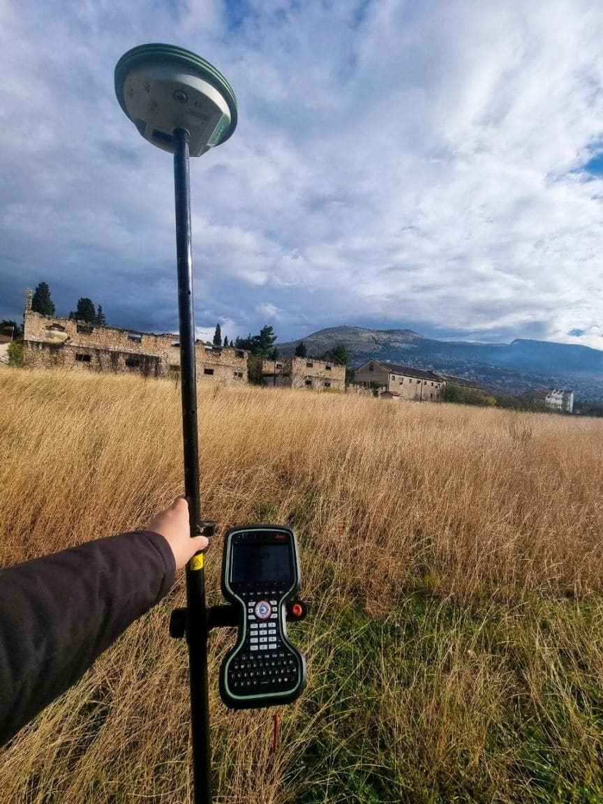
- ✦Leica GNSS gear
- ✦± 2 cm accuracy
- ✦24h quote
Complete surveying services
Construction
- ✓Praćenje građevinskih radovaKontrola geometrije objekta tokom izgradnje
- ✓Geodetske dokazniceDokumentovanje izvedenog stanja
- ✓Izrada 3D modela terenaDigitalni model za projektovanje i analizu
- ✓Iskolčenje objekataPrenošenje projekta na teren s ±2 cm
- ✓Topografski planoviSituacioni snimci za projektovanje
- ✓Dron / LiDAR snimanjeSnimanje velikih površina iz zraka
Cadastre
- ✓Obilježavanje i cijepanje parcelaParcelacija i uspostava granica
- ✓Legalizacija objekataElaborat za uknjižbu bespravne gradnje
- ✓Geodetski elaborati i ažurne situacijeKompletna katastarska dokumentacija
- ✓EtažiranjePodjela objekta na posebne dijelove
- ✓Ucrtavanje objekataUpis objekta u katastarske podloge
- ✓Katastar podzemnih instalacijaSnimanje i evidencija instalacija
From call to report in 4 steps
- 01
Request & quote
You send parcel details, we send a quote within 24h.
- 02
Field survey
On-site measurement with Leica GNSS gear.
- 03
Data processing
Producing the report and digital docs.
- 04
Delivery & filing
Filing with the cadastre and authorities.
Selected work
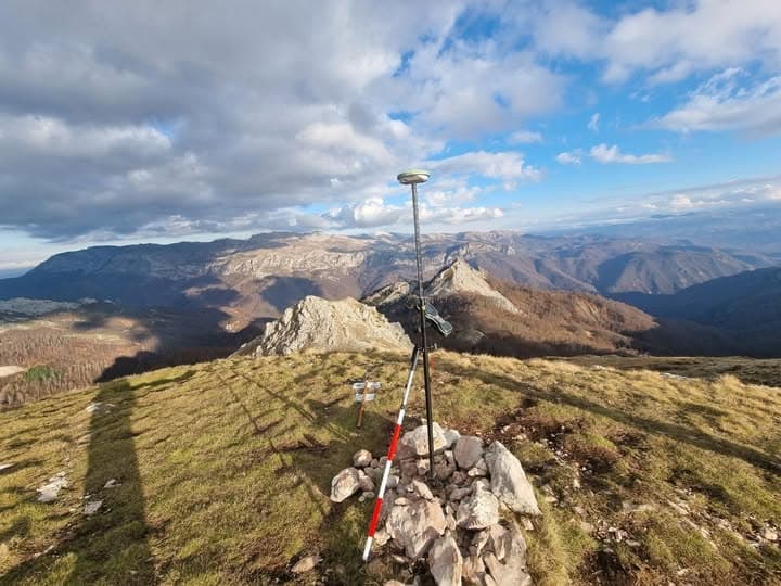
Field work across Bosnia and Herzegovina.
What our clients say
Saradnja na velikom gradilištu bila je besprijekorna — geodetska podrška na koju se možeš osloniti.
Precizni, korektni i uvijek dostupni. Sav posao oko parcelacije odradili bez ijedne greške.
Ponudu smo dobili isti dan, a elaborat za legalizaciju bio je gotov prije roka. Preporuka!
Frequently asked questions
Geodetski snimak je precizan prikaz terena i objekata. Potreban je za projektovanje, legalizaciju i uknjižbu.
Iskolčenje se najčešće obavi u toku jednog radnog dana, ovisno o veličini i pristupačnosti parcele.
Potrebni su dokaz o vlasništvu, građevinska i upotrebna dozvola te geodetski elaborat.
Cijena zavisi od vrste usluge, površine parcele i lokacije. Za tačnu ponudu javite nam se.
Da, usluge pružamo na širem području, uz dogovor o terminu izlaska na teren.
Najčešće su dovoljni dokaz o vlasništvu i kopija katastarskog plana; snimak izvedenog stanja izrađujemo mi. Tačan spisak zavisi od općine.
Tell us about your site
Fill out the form and we deliver a free quote within 24 hours.